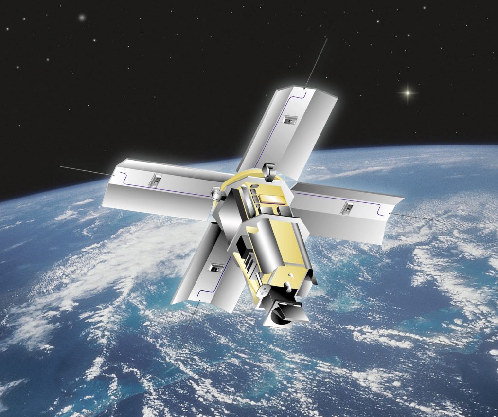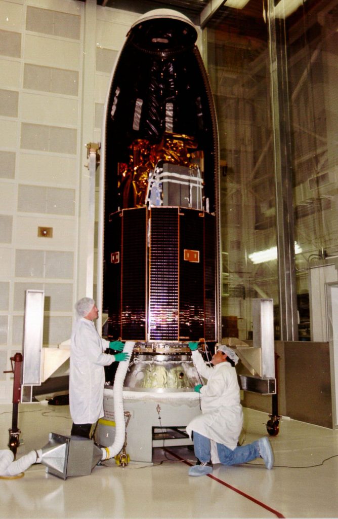
ALBUQUERQUE, N.M. — A unique Department of Energy research satellite developed in New Mexico is scheduled to be launched from Vandenberg Air Force Base, Calif., at approximately 1:30 a.m. PST this Sunday, March 12.
The Multispectral Thermal Imager (MTI) satellite carries a sophisticated telescope that collects day and night images of the Earth in 15 spectral bands ranging from the visible to long-wave infrared.
The unique imager, designed and built by a government and industry team led by Sandia National Laboratories and calibrated in a special facility at Los Alamos National Laboratory, gives the satellite the ability to “see” reflected and thermally radiated electromagnetic waves that are not visible to the human eye, with performance previously achievable only in a laboratory setting.
MTI’s three-year R&D mission objectives are to advance the state of the art in multispectral and thermal imaging, image processing, and associated technologies and to better understand the utility of these technologies. To achieve these objectives, researchers at Sandia, Los Alamos, Savannah River Technology Center (SRTC), and other DOE facilities will compare satellite images to “ground truth data” simultaneously collected from volunteer U.S. sites that have been instrumented by SRTC.

Because the technology is expected to have a broad range of national defense and civilian applications ranging from treaty monitoring to mapping of chemical spills, waste heat pollution in lakes and rivers, vegetation health, and volcanic activity, the Department of Energy has established an MTI Users Group, comprising more than 100 researchers from 50 national defense and civilian agencies. These researchers will conduct similar experiments using MTI images of instrumented ground sites.
The satellite also carries a High-energy X-ray Spectrometer (HXRS) sponsored by the National Oceanic and Atmospheric Administration’s Space Environment Center and the Czech Republic’s Astronomical Institute of the Academy of Sciences, and developed by Space Devices, Ltd. of the Czech Republic. This instrument will collect data needed to better understand a rare species of solar flare associated with high-energy particle storms that can endanger astronauts and damage space equipment.
The Air Force Space and Missile Center’s (SMC) Test and Evaluation Directorate plans to launch the satellite into polar orbit between 1:23 a.m. and 1:50 a.m. PST this Sunday, March 12, on an Orbital Sciences Corporation Taurus rocket.
The satellite’s development and on-orbit operations are funded by DOE’s Office of Nonproliferation and National Security, and the launch is funded by the Department of Defense’s Air Force Space Test Program. Other major participants include the Air Force Research Laboratory, Ball Aerospace, Raytheon, and TRW.
B-roll video: B-roll footage of the satellite’s development and launch preparation is available (contact John German, Sandia Public Affairs).
VAFB Public Affairs:
(805) 606-3595
Orbital media contact:
Barron Beneski, beneski.barron@orbital.com, (703) 406-5528
Air Force Space & Missile Center media contact:
Lt. Colleen Lehne, (310) 363-6827
