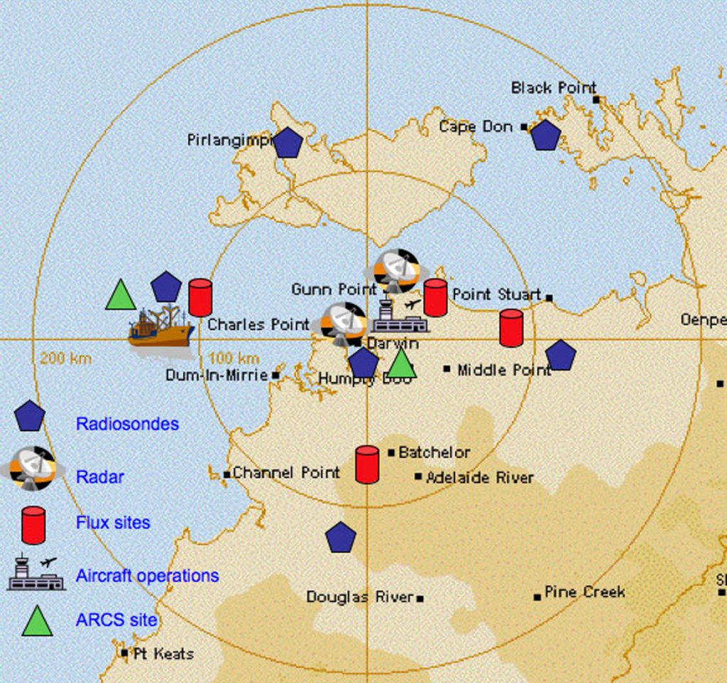
Download 300dpi JPEG image, “darwin-map2.jpg,” 620K (Media are welcome to download/publish this image with related news stories.)
LIVERMORE, Calif. — Summertime in northern Australia means monsoon storms — and plenty of them. Tall, turbulent clouds associated with these storm systems form rapidly, release their energy in the form of rain, then tail away, leaving in their wake a surplus of moisture to feed the next system. This lifecycle—the formation of tropical convective clouds, their outflow into cirrus clouds, and eventual dissipation into water vapor—is a key component of tropical climate. However, the cloud properties and the extent of their impact on the environment are not well understood or well represented in computer models that are used to simulate climate change.
This week, a team of more than 25 international cloud climate scientists are conducting a three-day operations and planning simulation at Sandia National Laboratories in Livermore, California, to prepare for a complex experiment that will result in the most detailed data sets ever collected for tropical convection. Led by scientists from the U.S. Department of Energy’s Atmospheric Radiation Measurement (ARM) Program and the Australian Bureau of Meteorology (BOM), the Tropical Warm Pool International Cloud Experiment will take place in the region around Darwin, Australia, between January and February 2006.

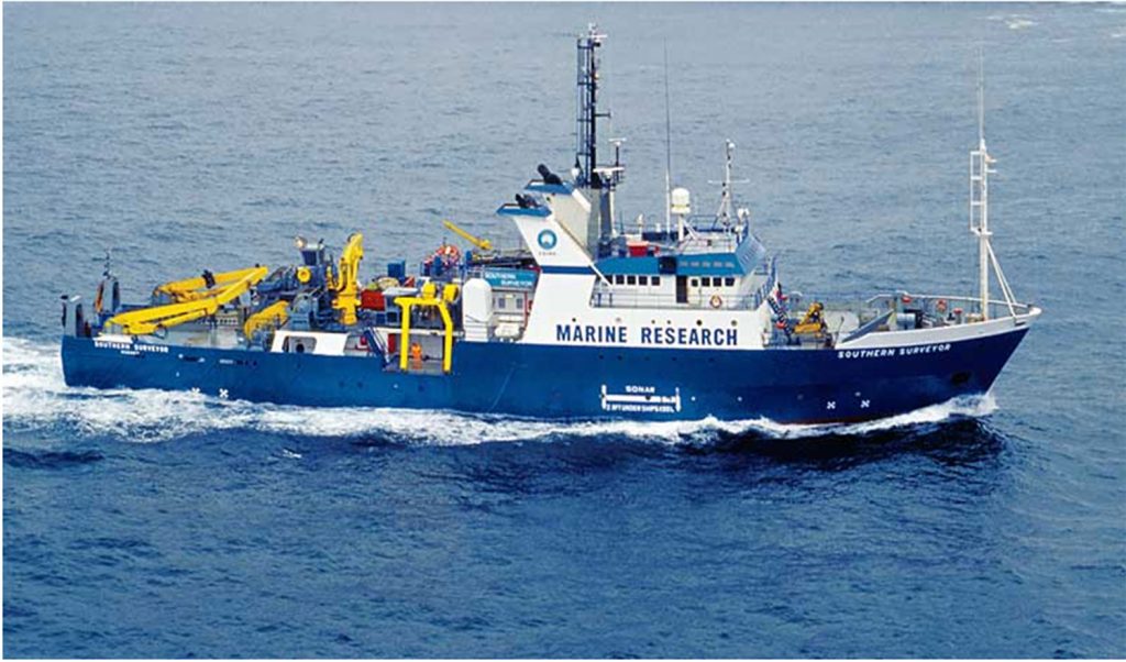
Download 300dpi JPEG image, “surveyor2.jpg,” 228K (Media are welcome to download/publish this image with related news stories.)
Darwin is home to one of the ARM Program’s permanent research sites, equipped with a sophisticated array of remote sensing instruments to collect the continuous measurements needed to improve computer models that simulate clouds and climate. The upcoming experiment will include an unprecedented network of ground-based instrumentation, a ship operating off the coast near Darwin, and a fleet of low-, middle- and high-altitude aircraft for in-situ and remote-sensing measurements. Aircraft measurements taken during the experiment will be valuable for validating and improving existing ground-based measurements from the ARM site in Darwin, as well as satellite observations obtained by the National Aeronautics and Space Administration (NASA).
The operational complexity, not to mention the monsoon environment, makes the experiment a challenging undertaking, to say the least.
“After more than two years of planning for this experiment, we are nearing the operations phase,” said Jim Mather, ARM’s lead scientist for the experiment. The most challenging aspect of our operations will be coordinating multiple research aircraft during the complex monsoon season. Because our time in the field is so limited, this simulation exercise allows us to examine all aspects of the critical flight coordination process.”
Each day of the simulation will involve weather briefings and mission planning to reflect actual field operations and flight scenarios during the experiment. The team is conducting a debriefing and critique at the end of each day to discuss any issues and identify needed changes to their planned situation analysis, decision processes, communications protocols, and procedure development.
In addition to the ARM Program and BOM, other key participants in the experiment include the ARM Unmanned Aerospace Vehicle (ARM-UAV) Program, the Australian Commonwealth Scientific and Industrial Research Organization, NASA, and Airborne Research Australia. In addition, scientists from several universities in the United States, Australia, Canada, Japan, and the United Kingdom are participating in the experiment. Both the Royal Australian Air Force and the Regional BOM Office will host the aircraft operations and be heavily involved in forecasting efforts.
“This is truly an international collaboration focused on climate change research,” said Wanda Ferrell, ARM Program Manager for the Department of Energy’s Office of Science. “When we agreed to fund the experiment, we were hopeful it would gain wide support. The number of collaborators has exceeded expectations, and the scientific commitment to the experiment is impressive. We are very optimistic about the progress made thus far, and are already looking forward to the results.”
ARM scientists will use data from the experiment to improve computer models that simulate tropical climate by examining convective cloud systems from their initial stages through to the decay of the cirrus generated, and to measure their impact on the environment. Other scientific collaborators in the experiment will focus on measuring a variety of active chemical species transported by convection into the upper troposphere and lower stratosphere. These measurements will provide important information about the interaction of the troposphere and stratosphere and about chemical processes associated with ozone production and destruction.
The ARM Program is funded through the U.S. Department of Energy’s Office of Science.
Additional information about ARM Program science and the ARM Climate Research Facility is available at www.arm.gov.