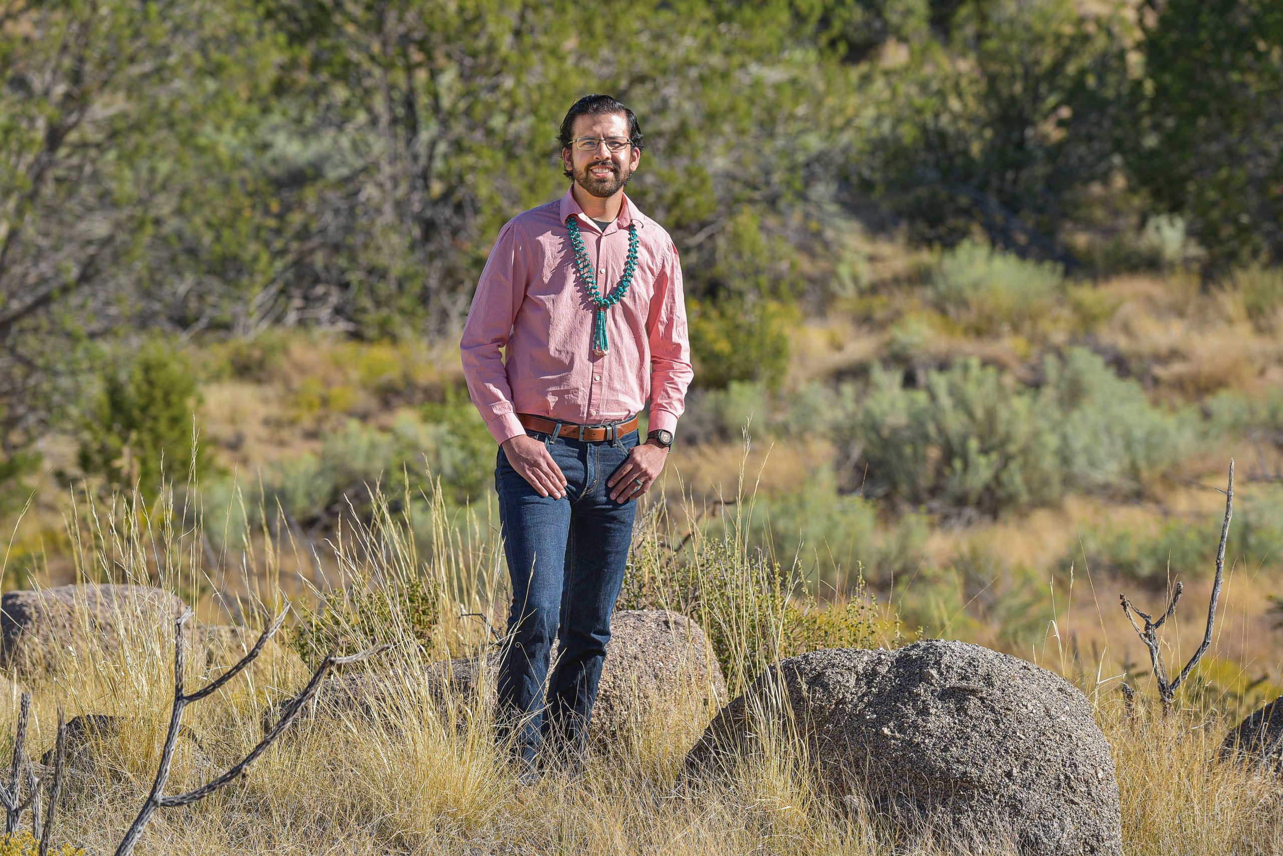
ALBUQUERQUE, N.M. — Geoscience engineer Dylan Moriarty has been named the 2019 Most Promising Engineer or Scientist by the American Indian Science and Engineering Society. The award is given to an American Indian, Alaska Native, Native Hawaiian, Pacific Islander, First Nations and other indigenous person of North America with less than five years of work experience since his or her last degree. It will be presented at the society’s annual conference Oct. 12.

A member of the Navajo Nation, Moriarty joined the team of geoscientists at Sandia National Laboratories in 2014. He specializes in spatial statistics and data analytics, a field he first learned during his undergraduate internship at the labs. “It’s a toolset that can be used for various engineering problems,” Moriarty said.
His main project at Sandia involves monitoring ongoing site integrity of the Strategic Petroleum Reserve, created in 1977 to hold the country’s emergency oil reserves and ensure energy security. Moriarty has also applied his skills to analyze water distribution and traffic infrastructure networks, as well as describe multiphase fluid flow important to groundwater contamination and oil and gas extraction. “My goal is to use statistics to tell the most accurate story of a situation given the data,” he said.
Statistics to monitor changes underground
When describing spatial statistics, Moriarty cites a common application of weather prediction. To create a forecast map, meteorologists gather data about temperature, pressure, wind speed and other conditions from weather stations mounted at specific locations. Then they use spatial statistics to forecast conditions for the areas between weather stations and fill in the gaps on the forecast map.
Although Moriarty does not predict weather, the same concept applies to his work monitoring the Strategic Petroleum Reserve, a collection of manmade salt caverns in Texas and Louisiana that hold the world’s largest supply of emergency crude oil.
The reserve’s four sites, each hosting a collection of underground salt caverns, were created by pumping water into the salt formations, letting the water dissolve the salt and extracting the salty water from the resulting cavities. The combined volume of the caverns equates to a storage capacity of more than 700 million barrels. But being about a mile underground and filled with crude oil, no human will ever enter the caverns and observe their structure.
One way they do that is by measuring the subsidence, which is how much the ground above the caverns moves up and down.
Moriarty analyzes ground movement data collected by surveyors and satellites to determine if the movement is typical for day-to-day operation or a signal of cavern instability. He also uses statistics to combine that information with pressure data and information collected by sound wave measurements of the cavern shape. “This gives me a cohesive and comprehensive story about what’s happening in a cavern,” Moriarty said.
If the analysis reveals a need for a closer look at a cavern, Moriarty and Sandia geoscience colleagues recommend an engineering solution to operators at the reserve.
This work also gives him an opportunity to use his background in civil and subsurface engineering.
Moriarty attended high school in St. Michaels, Arizona, graduating in 2007 as one of 30 students. He completed a bachelor’s degree in civil engineering at the University of Arizona in 2012. During that time, he interned at Sandia Labs working with researchers detecting fugitive emissions of carbon dioxide, often from leaks or unintended releases from industrial equipment. In 2014, he finished a master’s degree in energy resources engineering from Stanford University, sponsored by a Sandia fellowship.
